Below Lear and Church’s journey is plotted using Google Maps. You can zoom in to specific places or choose to view satellite images or the terrain. The dropped pins indicate a place where Lear and Church stopped – either to rest overnight or to draw. Most pins contain a link which will take you to the relevant section of Lear’s journal.
View Edward Lear’s Grecian Travels in a larger map
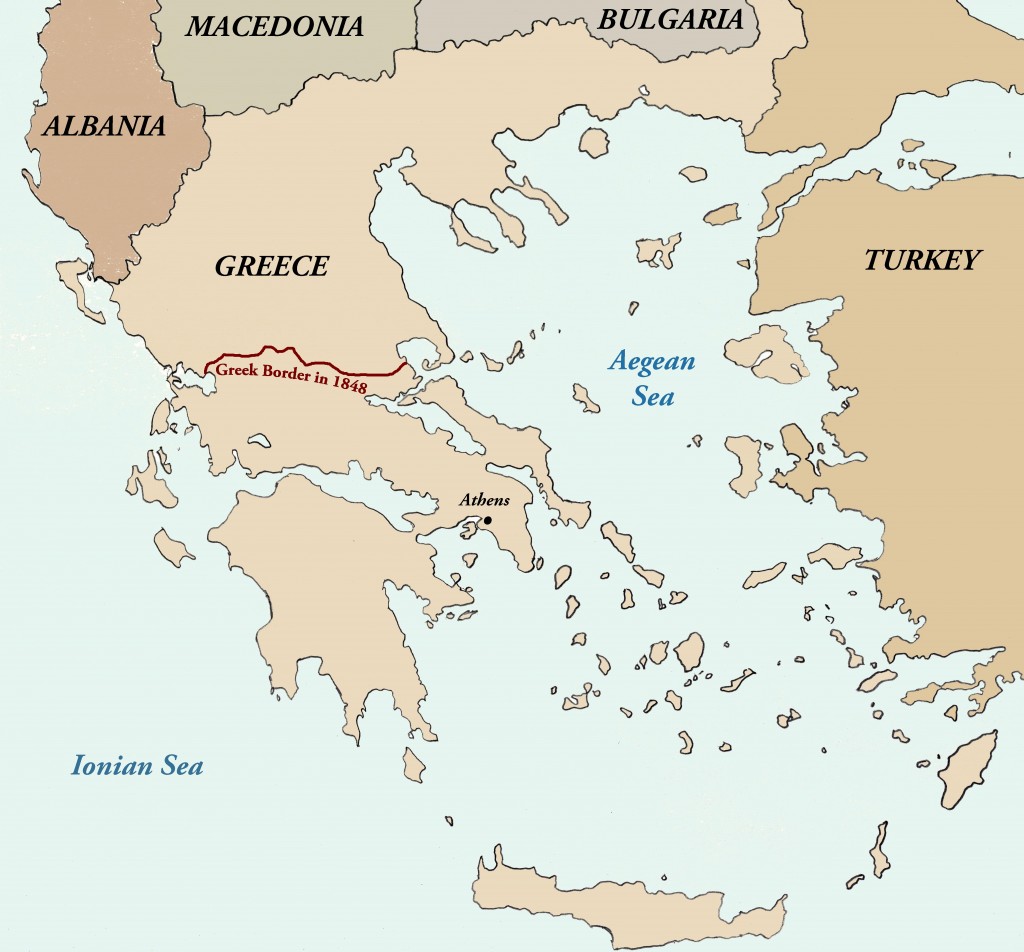
A map of Greece with modern day borders shown. The border between Greece and the Ottoman Empire, as it stood in 1848, is drawn and labelled in dark red.

One Response to Maps